Drainage in Barry
Barry's drainage story effectively begins in 1889, the year the docks opened and a Vale of Glamorgan farming village of a few hundred people began its transformation into one of the busiest coal-exporting ports in the world. Almost everything beneath Barry's streets dates from that expansion or later, which gives the town a drainage profile dominated by two things: dense late-Victorian and Edwardian terraced housing thrown up quickly for dock workers, and a coastal, tidal setting that shapes how every one of those drains behaves.
The terraces around Holton Road, Barry town centre and Cadoxton are the oldest part of the network. They were built at speed and to a pattern — long rows served by shared rear drainage running behind the properties, connected with salt-glazed clay and cement joints. That shared arrangement is the single most common source of confusion we encounter in Barry: a household with a slow drain often has no fault of its own at all, and the obstruction sits in a length of communal pipe several doors away. Where mature garden trees have grown up alongside those rear runs over the past century, root ingress at the deteriorated joints is close to inevitable.
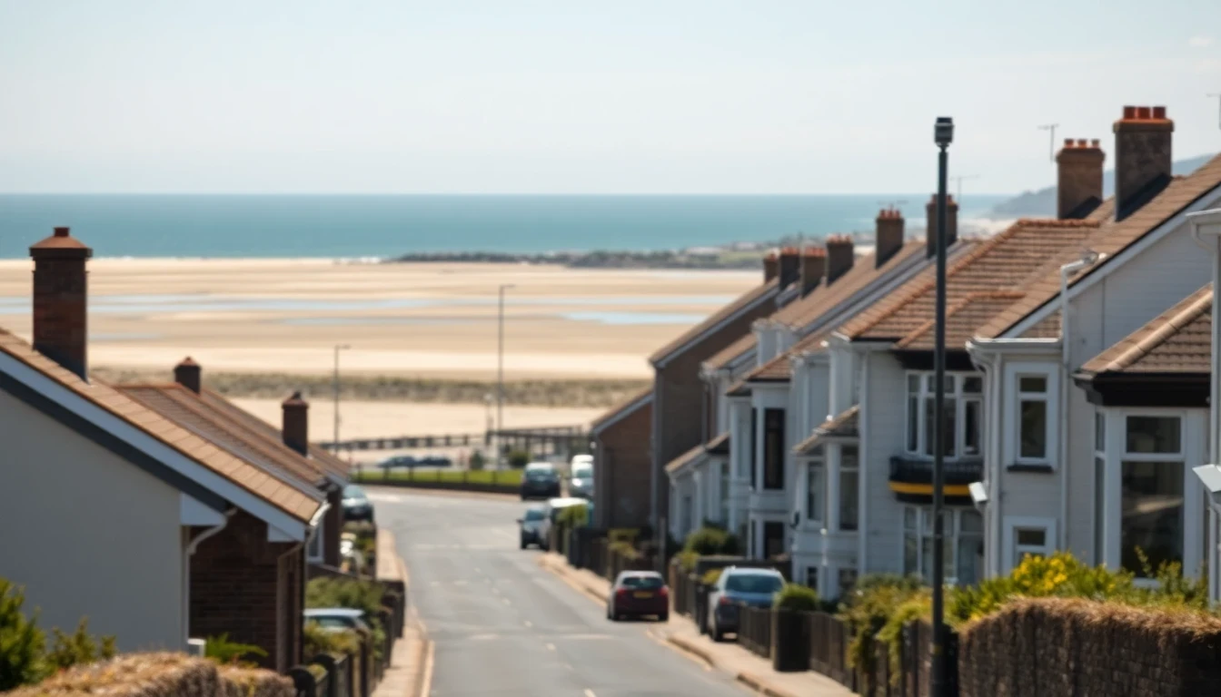
Barry has no significant river through the town, so its drainage context is coastal and tidal rather than fluvial — and the Bristol Channel has one of the largest tidal ranges anywhere in the world. That matters underground. Surface water outfalls and the lower reaches of the network discharge far less freely at high water, so the system's effective capacity varies with the tide. When a high spring tide coincides with sustained heavy rainfall, a common enough combination here in autumn and winter, low-lying property around Barry Docks, the Waterfront and the flatter ground behind Whitmore Bay can see sluggish drainage and, occasionally, foul water backing up through ground-floor fixtures. A non-return valve on the main connection is the standard protection and is inexpensive relative to a single flood clean-up.
Above the docks the town climbs steeply. The ground rises from the waterfront and Barry Island up towards Colcot, Highlight Park and Gibbonsdown, and these upper areas drain well but push a great deal of surface water downhill during storms. The mid-century estates on that higher ground — largely built between the 1950s and the 1970s — are also where we most often find pitch fibre drainage. Pitch fibre was cheap, quick to lay and widely used across British housing programmes of that era, but it degrades from the inside after 40 to 60 years, blistering and losing its round profile until the bore is too narrow for waste to pass. A drain in Colcot or Gibbonsdown that blocks repeatedly and does not respond lastingly to rodding is very often a pitch fibre problem rather than a debris problem.
Barry Island's property stock adds a further wrinkle. A large share of it was built or adapted as guest houses and holiday accommodation, so the drainage was configured for seasonal peaks and has since been converted to permanent residential use. Combine that with unbroken salt exposure off Whitmore Bay, which eats through cast iron stacks and covers, and Barry Island properties need more frequent attention than their age alone would suggest. At the other end of the spectrum, the modern Barry Waterfront development sits on former dock land — made ground, shallow cover, and new plastic drainage connecting into a much older network inland.
Ancient village, Victorian dock town, hillside post-war estates, seaside resort and brand-new waterfront quarter: Barry packs an unusual amount of drainage variety into one town. Our engineers work across all of it, from Cadoxton and Holton Road to Barry Island, Colcot and the Waterfront, with fixed prices confirmed in writing before work starts.