Drainage in Llantrisant
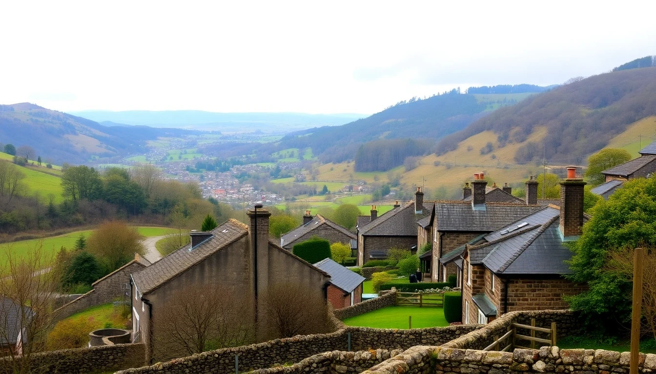
Llantrisant is an inland hilltop town in Rhondda Cynon Taf, roughly ten miles north-west of Cardiff, and its drainage is shaped above all by height and gradient. The medieval Old Town occupies the summit of a steep ridge — castle ruin, parish church and the Bullring at the top, narrow lanes falling away sharply on every side — while the modern town has grown up on the lower ground at Talbot Green, Cross Inn and Pontyclun beside the River Ely. Those two halves have almost nothing in common underground, and treating them as one place is the quickest way to misdiagnose a Llantrisant drainage problem.
On the hilltop, everything drains fast and everything is shallow. The Old Town's cottages and terraces sit on ground where rock is close to the surface, so historic drainage was laid at whatever depth could be achieved rather than the depth an engineer would choose today. Runs are short, steep and often shared between neighbouring properties on the narrow lanes, and a great deal of what is down there is original clay with cement joints, occasionally connecting into older stone channels. Steep, shallow pipework is unforgiving: any settlement produces a step or a sag, the flow scours defects wider rather than passing over them, and excavation is expensive because of the rock and the access. This is the classic case for no-dig structural relining, which restores the run without opening up a historic lane.
Surface water is the Old Town's other constant. Heavy rain arrives on a steep, largely impermeable hillside and reaches the lanes at speed, carrying grit and leaf litter into gullies that were never sized for modern rainfall intensity. Keeping gullies, channels and downpipe connections clear is more than housekeeping here — it is the main line of defence for property on the slopes, and blocked surface drainage is the most frequent cause of water finding its way into a hilltop property.
At the bottom of the hill the picture inverts. Talbot Green, Cross Inn and Pontyclun sit on the valley floor near the River Ely, on flatter ground with a higher water table, and they receive everything that runs off the ridge above them. Flat runs silt rather than scour, discharge is slower, and during prolonged rainfall the combined sewer network has less headroom exactly when the hillside is delivering most water. Natural Resources Wales publishes flood maps for the Ely catchment, which are the right check for any address on the low ground, and Dwr Cymru Welsh Water manages the public sewers.
The housing stock adds the final layer. Llantrisant's population grew substantially after the Royal Mint moved to the town in 1968, and the estates built at Beddau, Cross Inn and around Talbot Green from the 1960s onwards used the materials of their day — mid-century clay and pitch fibre in the earlier phases, plastic later. Pitch fibre from that era is now at the end of its designed life, blistering internally and narrowing the bore until waste stops passing freely, and it produces exactly the pattern of blockages that return within weeks of rodding. The large retail development at Talbot Green brings its own demands, with substantial areas of hard standing shedding surface water and food premises contributing fats and grease to shared pipework.
Hilltop and valley floor, medieval lanes and modern retail park, shallow rock and high water table: Llantrisant needs an approach matched to where the property actually sits. Our engineers cover the Old Town, Talbot Green, Cross Inn, Pontyclun and Beddau, with fixed prices confirmed in writing before work starts.