Drainage in Pontypridd
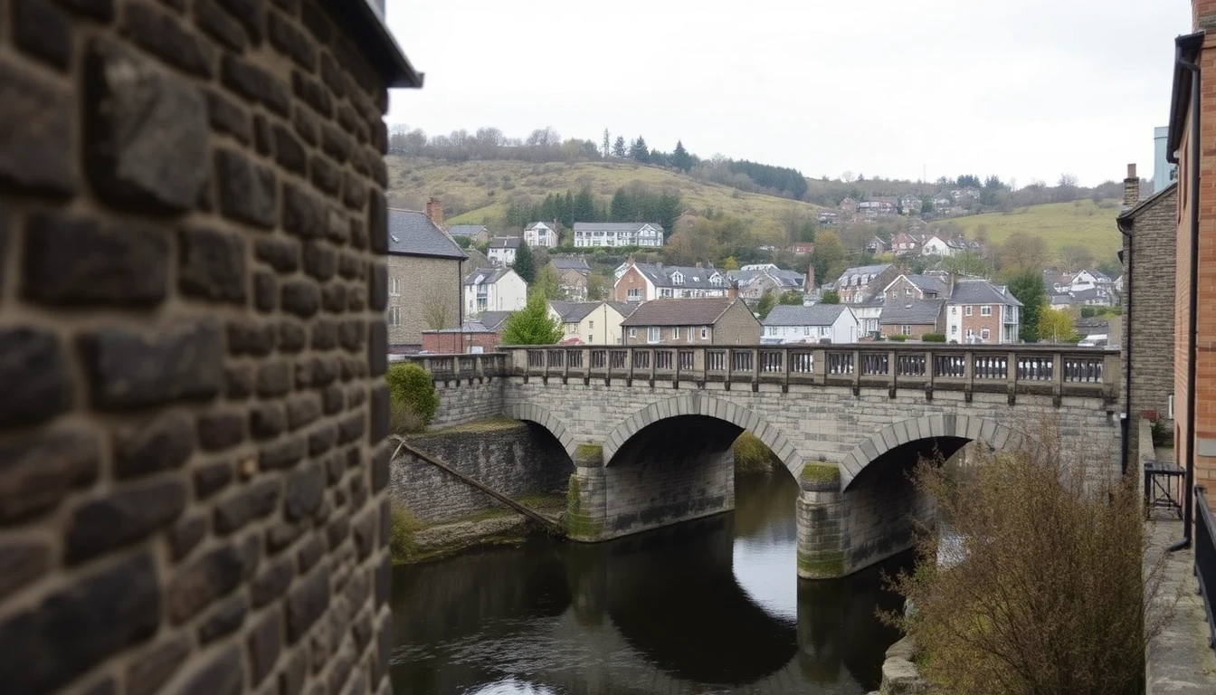
Pontypridd grew up at the point where the River Rhondda joins the River Taff, and that confluence explains both the town's history and its drainage. The narrow valley floor was the gateway to the Rhondda coalfield, and through the second half of the nineteenth century Pontypridd filled with dense terraced housing, chapels, chainworks and a market serving the pits upstream. William Edwards' single-span Old Bridge of 1756 still stands beside Ynysangharad War Memorial Park as a reminder of how long people have been trying to get across this stretch of water. Almost all of the town's underground drainage dates from that Victorian and Edwardian industrial expansion or from the housing built to replace and extend it in the twentieth century.
Two rivers meeting in a confined valley is the defining drainage risk. Water reaching Pontypridd has come off a very large upland catchment, and it arrives quickly. The town centre and the low ground at Treforest and Rhydyfelin sit close to the rivers, and when both are running high after sustained rainfall the combined sewer network has nowhere to discharge to. The February 2020 storms demonstrated the consequences across the town centre and Treforest in the clearest possible terms. Natural Resources Wales publishes flood maps for the Taff and Rhondda catchments, and any property on the valley floor should be assessed against them. Dwr Cymru Welsh Water manages the public sewers, and non-return valves on private connections are the standard protection against surcharge backing into a ground floor.
Away from the valley floor, gradient dominates. Pontypridd's terraces climb the valley sides in long stepped rows at Graigwen, Cilfynydd and above Treforest, and the drainage falls steeply with them. Steep runs move waste efficiently but concentrate wear at every joint and bend, and where a run has settled or a joint has opened the flow enlarges the defect rather than passing over it. The same gradients send storm water down the streets at speed, overwhelming gullies and pushing leaf litter and grit into the system faster than in flatter towns.
The housing stock itself is the third factor. The stone and brick terraces of the 1860s to 1910s were built with salt-glazed clay drainage, frequently in shared rear runs serving an entire row, sometimes with original stone channels still in the system where later work simply connected into what was there. These are now well past a century old, and root ingress from mature garden and street trees at deteriorated joints is the most common cause of the recurring blockages we attend. Inter-war and post-war housing at Rhydyfelin, Hawthorn and the estates around them added clay and, in the mid-century phases, pitch fibre, which after 40 to 60 years blisters internally and narrows the bore until waste no longer passes freely.
Pontypridd's commercial and industrial drainage has its own demands. The food premises along Taff Street and around Pontypridd Market discharge cooking fats that congeal in the cold underground environment and steadily constrict shared pipework, so grease trap servicing and scheduled jetting are essential rather than optional. Treforest Industrial Estate and the town's other former industrial land carry a legacy of made ground and complex, poorly documented services that makes a survey before excavation a sensible precaution.
Understanding which of these applies to your address — confluence flood exposure, steep-gradient wear, century-old shared clay, mid-century pitch fibre, or commercial grease loading — is the difference between fixing a symptom and fixing a cause. Our engineers work across Pontypridd, Treforest, Rhydyfelin, Cilfynydd, Graigwen and Hawthorn, with fixed prices confirmed in writing before work begins.